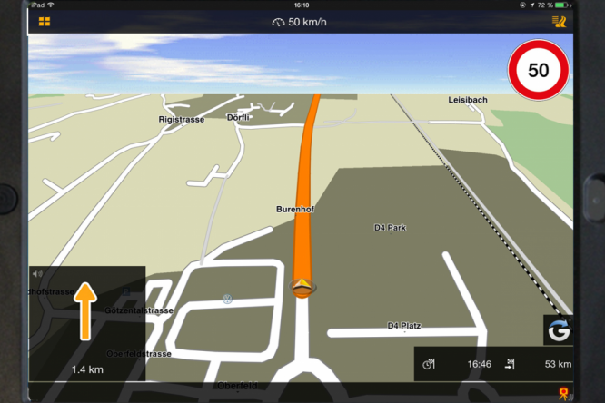
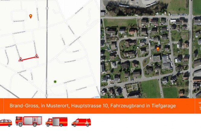
Recently, more and more cantons have changed their alerting to include coordinates with the alert message. Therefore, the Firetab system offers not only the possibility to read an address from an alarm SMS, but also address recognition via received coordinates is an option.
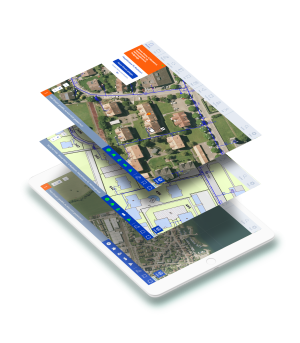
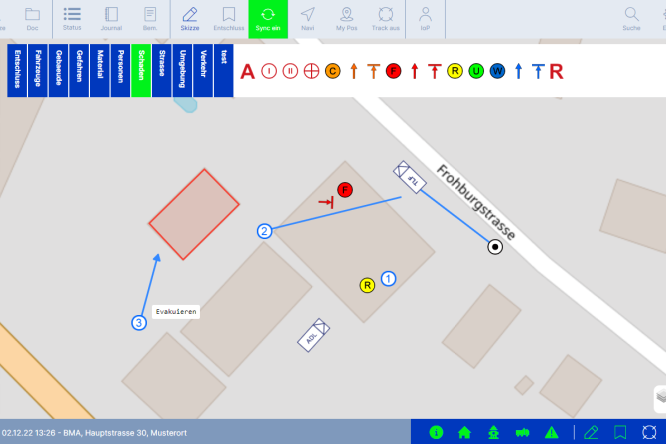
Maps play a crucial role in firefighting operations
The integration of maps from different sources or platforms is a must for a modern firefighting app:
- via WMS interface directly from a GIS server
- via Tile Service directly from any map provider
- per PDF manually prepared by Azurito
Azurito also takes into account the coordinate systems CH (LV95) or WORLD (WGS84).
Communication between Azurito solutions
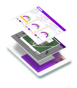
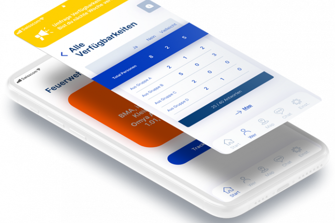
With Planbutler for the creation and management of deployment plans, the comprehensive information system Firetab for all deployment-relevant data and the Rapida Smartphone App for deployment communication, we already offer three products that communicate with each other:
- Deployment plans are displayed directly from Planbutler in Firetab.
- Operation plans are transferred from the other apps to the Rapida Smartphone App as desired (in planning)
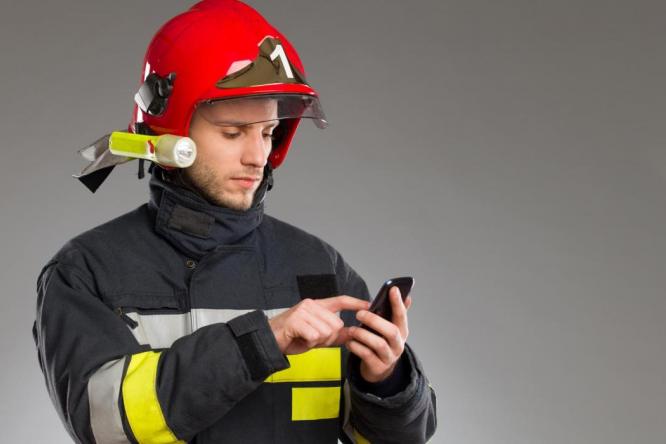
- Alarming via the Firetab Cloud is linked to the Rapida Smartphone App, so that alarm groups are managed centrally in the Firetab.
Hardware for the application is an individual matter
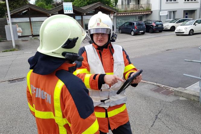
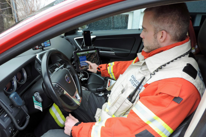
Our web applications are compatible with all major browsers. The Firetab Screen web app supports fire departments on any screen size. Our offline tablet apps are geared towards iOS and Android devices, giving users an extremely wide tablet selection in various sizes.
You want to get to know our fire department apps?
Choose your preferred date and book a one-hour webinar here: https://www.azurito.com/webinar
Do you have any questions? We will be happy to answer them: 041 455 81 81.
