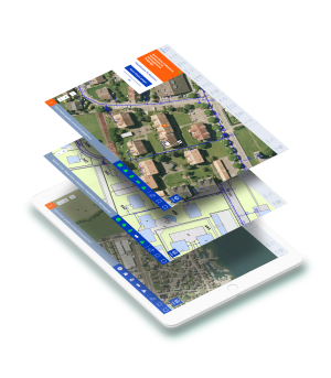
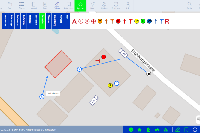
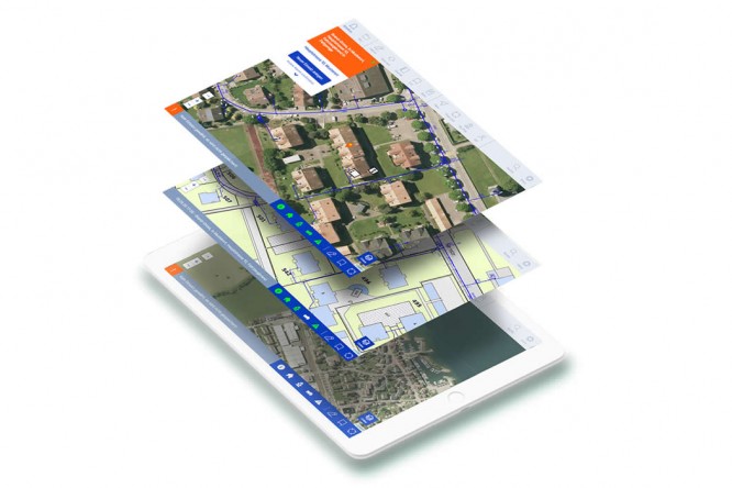
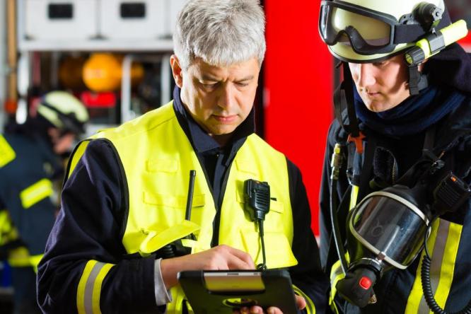
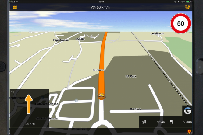
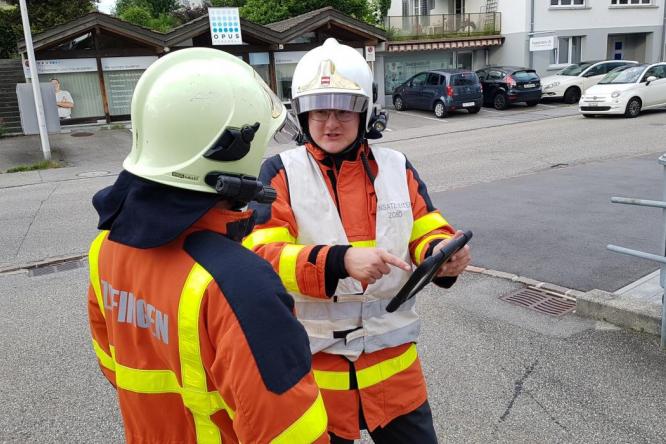
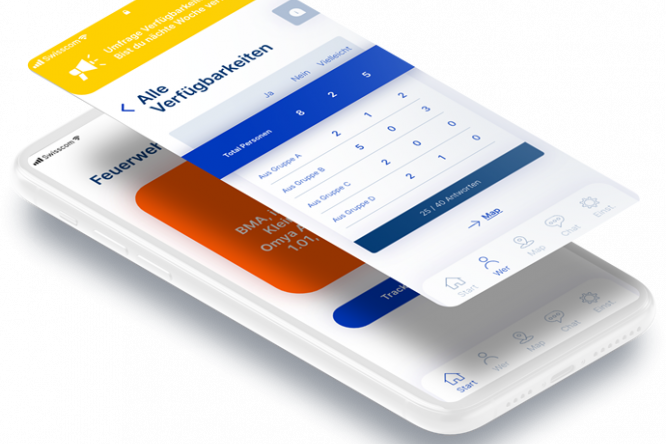
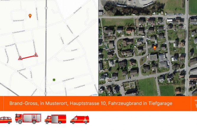
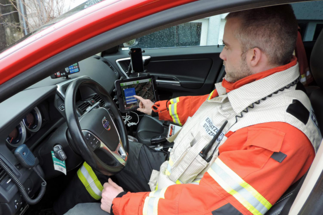
The alarm is transmitted via telephone, radio, pager, SMS, MMS, etc. If Firetab is in play, the Firetab® devices receive the alarm message simultaneously. You see not only a text message on the tablet, large screen or PC, but also the corresponding image simultaneously. This is done by automatically zooming in on the event location. The map section is displayed at a distance from the fire station. This provides the officers with optimal orientation. It is also practical that Firetab immediately shows you what data is available for an event with the familiar symbols.
This is what Firetab provides at a glance:
- All known data for the event are automatically displayed
- Traffic congestion, road works or closed roads are visible
- Mission plans, floor plans, photos and text information can be called up directly on the object.
- You can see the position of a key pipe
- You recognize possible hazardous material such as a gas storage facility
- Hydrants and water supply locations are immediately visible
- Different map views guarantee an optimal overview
- Water, electrical and gas plans are displayed at the push of a button
If you have already stored information about the space conditions at the incident location, perhaps an ideal position for a tanker, this is now immediately available. This saves valuable deployment time. And speaking of time: You can report important actions such as the arrival at the incident location with an automatic time stamp.
