Planbutler Digital deployment planning
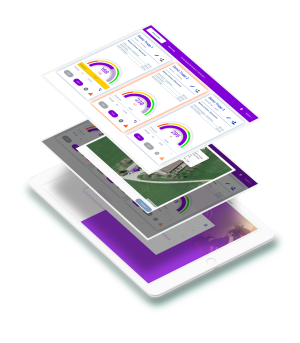
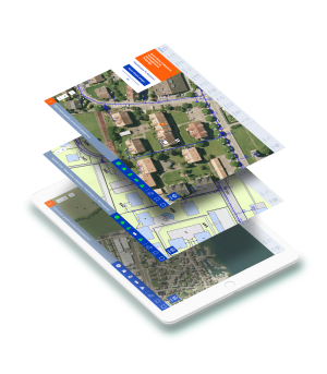
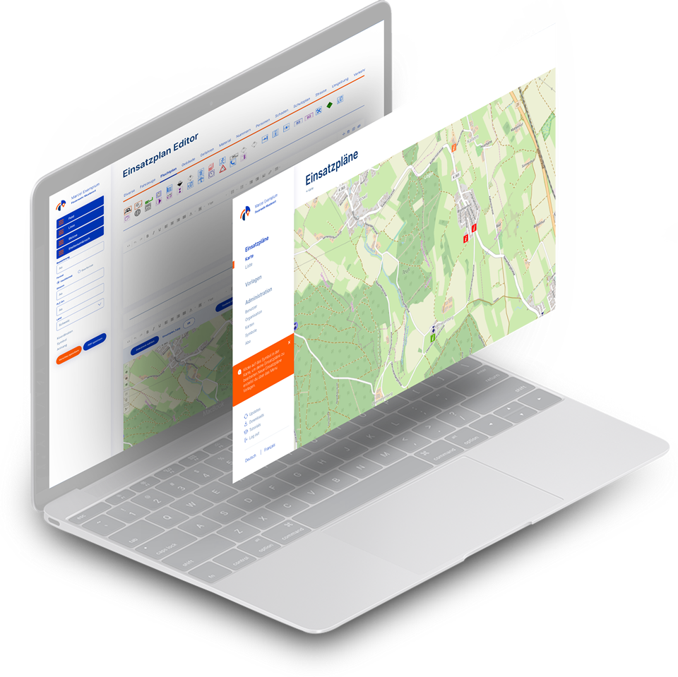
Planbutler is our application for creating and managing operational plans, building plans, area plans and maps. Planbutler is specialized in visualizing spatial data and object information. Create documents quickly, edit them at any time and access them on the go - that's what it's all about.
Planbutler
Planbutler advantages High standard with many upload options
6
Cards in standard
3
Symbol pools in the standard
6
Templates in standard
For fire department
For civil defense
For big event
For companies
Satisfied customers From fire chiefs to safety chiefs
Planbutler functions Helpful tools for digital documents
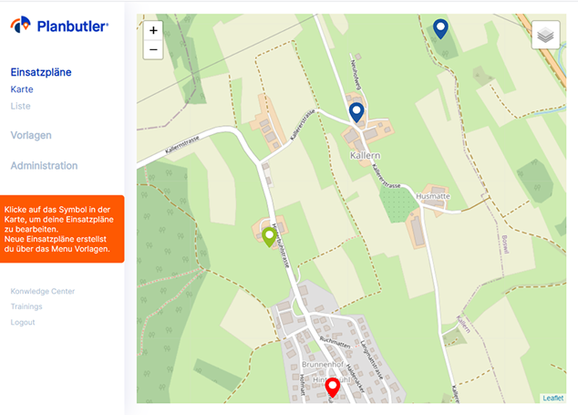
Operational plans
- Georeferenced view of all plans
- Insertion of own images and PDFs
- PDF export of all application documents
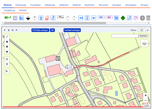
Operational documents
- Drawing sketches directly on any WMS map
- Text fields with many formatting options
- List view of documents with filter function
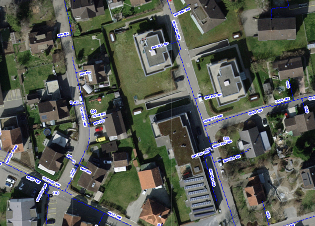
Cards
- Working with different system maps
- Inserting your own GIS maps via WMS interface.
- For example: Hydrant, gas, electrical, cadastral map
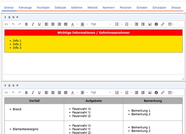
Templates for fire departments
- Predefined templates for CH, DE, AT
- Create your own templates
- Template editor with extensive functions
- Symbol library for CH, DE, AT
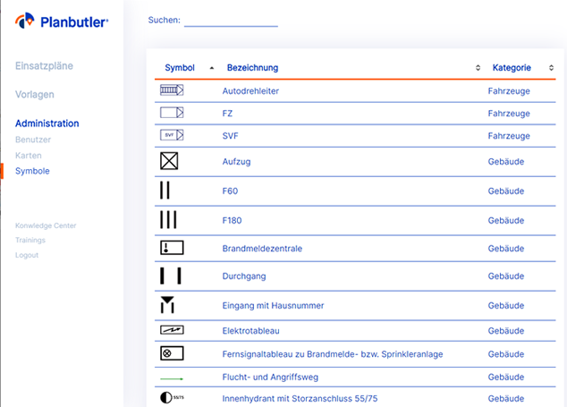
Administration
- Simple user management
- 3 user rights: administrator, worker, viewer
- Select symbol set
- Manage subscription
- Transparent cost overview
Pricing
In a flexible subscription system.
Something for everyone.
Transparent.
The software licenses are paid quarterly, half-yearly or annually. Against invoice or with credit card. Changes are possible at any time.
Our mission Your area and objects with your info
Every person, fire department or company creates its own geographic information system (GIS) in a few steps. Likewise operational plans, disaster plans, object plans and situation sketches.
